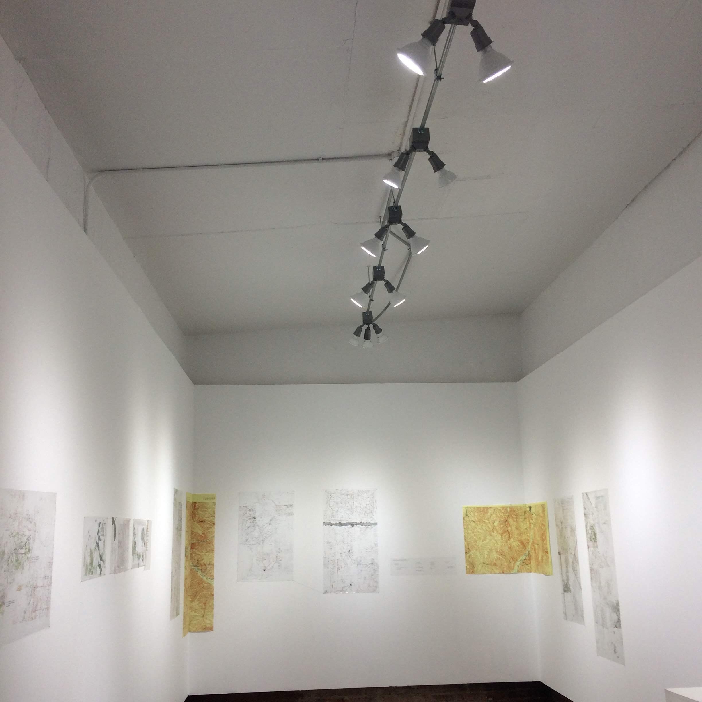
WaterMaps (2017-2019)
How do we map something ever changing? What happens when the boundaries recede or return?
Collaborative Exhibit with Linds Sanders
WaterMaps is a collaborative exploration of place and history that reimagines glacial lake Missoula as a repository for calcium homes and wonder. Using encaustics, ceramics, wood, water, found maps, and poetry, this series asks viewers to interrogate the mythology of what an ancient lake might have held—and continues to hold—for inhabitants above and below the surface.
Shows
E3 Convergence Gallery — Missoula, MT (December 2017)
Clark Chateau — Butte, MT (May/June 2018)
Dillon Arts Space — Dillon, MT (February 2019)
Media
At E3 Convergence, 'Water Maps' imagines a fantastical history—(December 7, 2017)
New art exhibit combines maps and sea creatures to dazzling effect—(November 28, 2017)


Atmospheric Ecologies (2016)
Exploring the accumulation of artifacts and knowledge related to mining, alchemy, and glaciation.
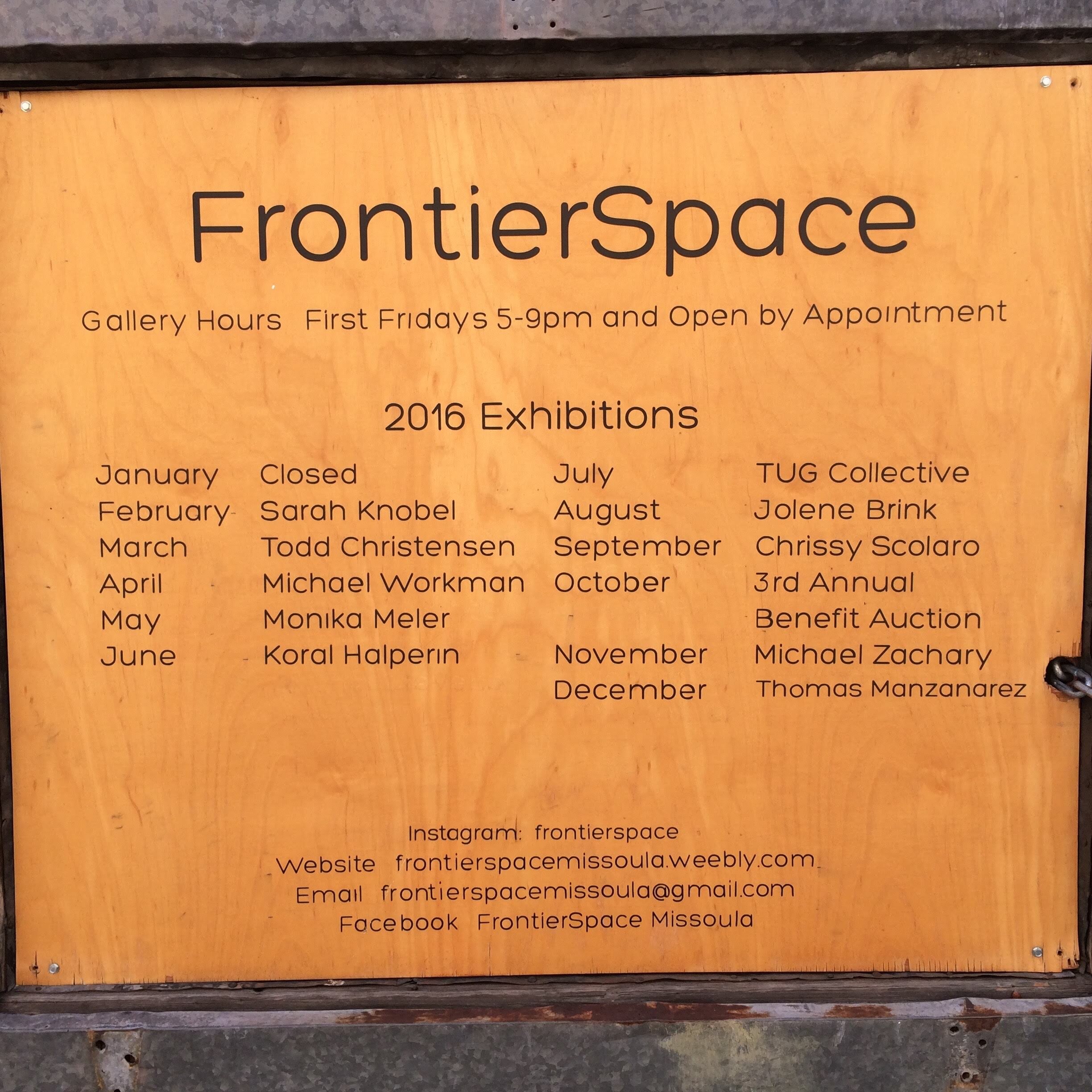
Shows
Frontier Space — Missoula, MT (Summer 2016)
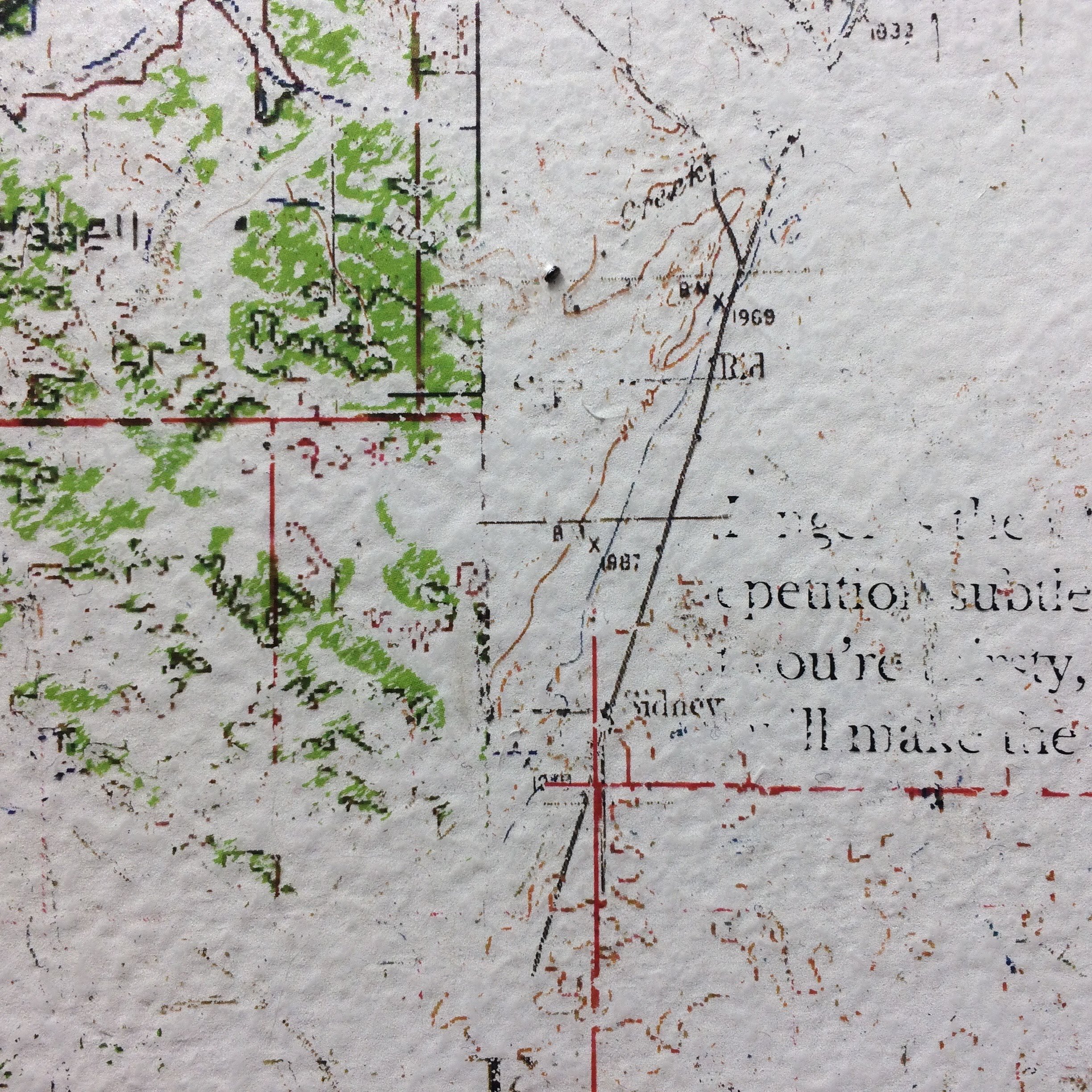
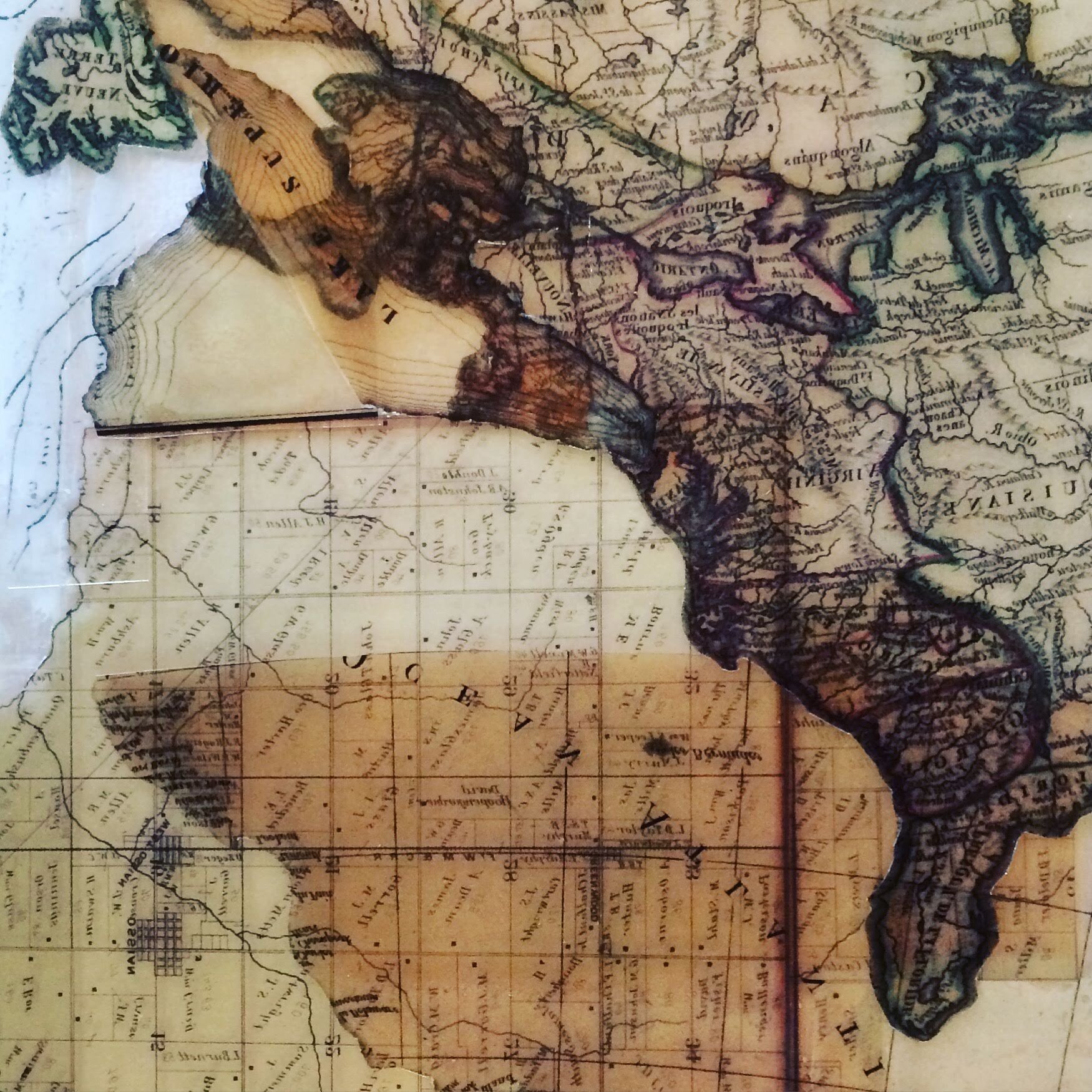
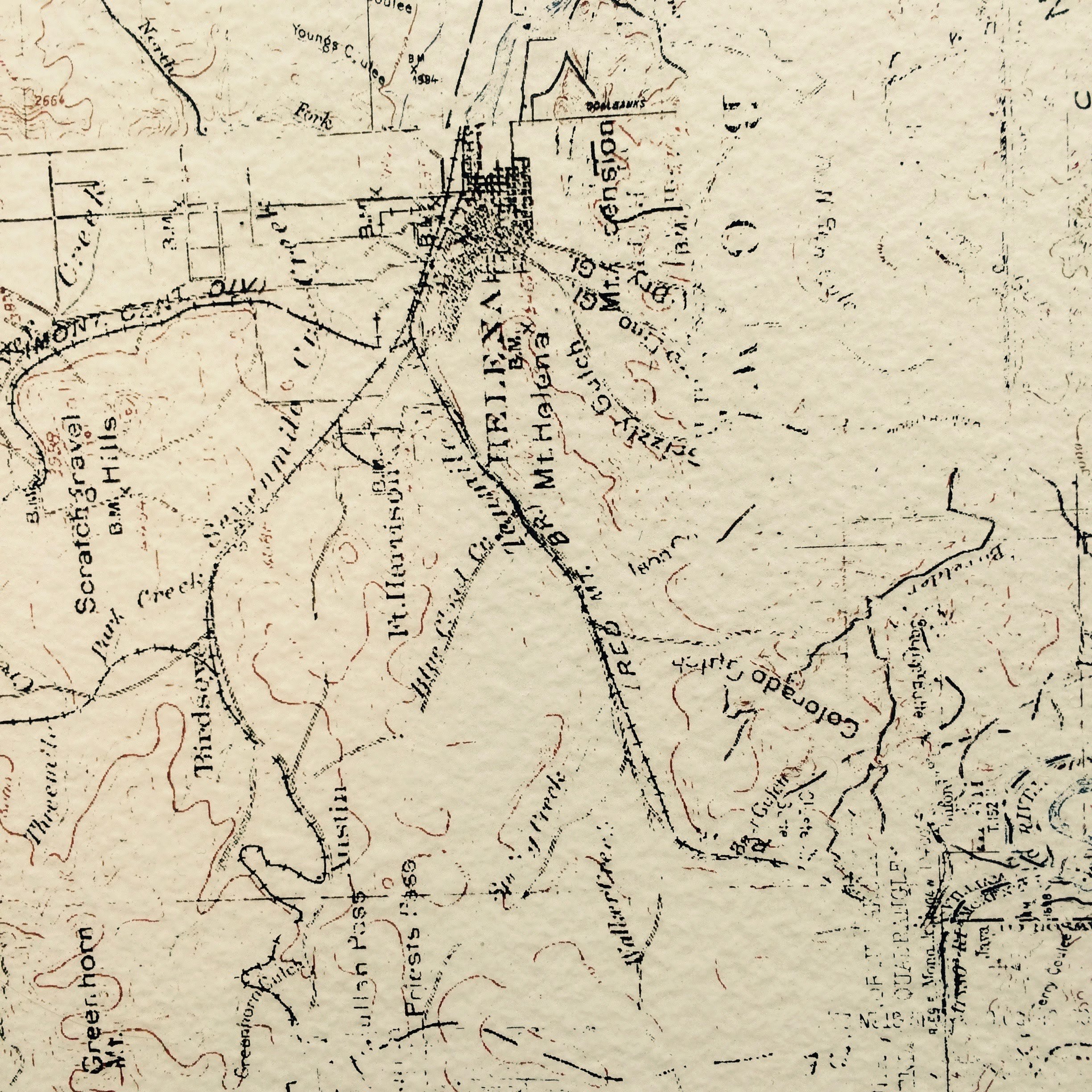
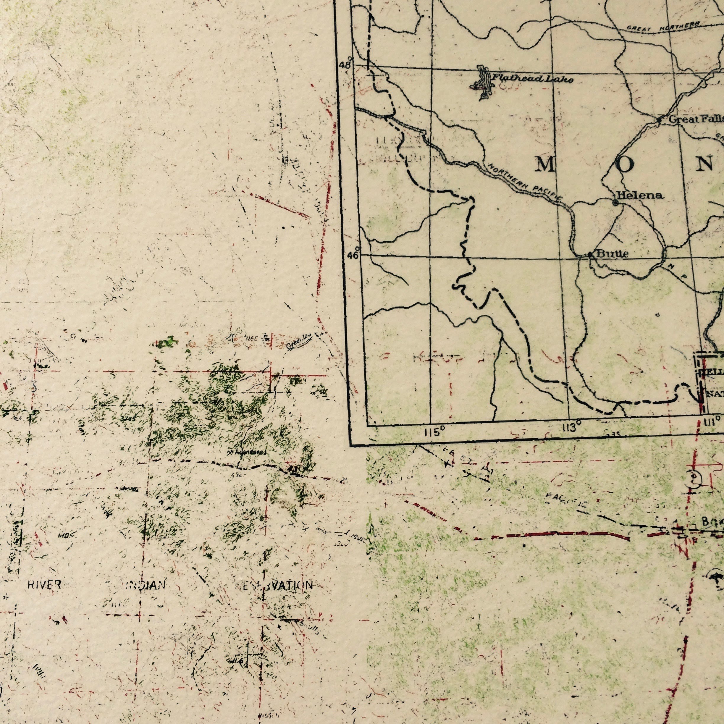
Accumulation frames my artistic practice. Environmental toxins build up in plants and human bodies. Texas-sized garbage islands form in the Pacific Ocean. Global leaders debate climate change policies as C02 emissions rise. Knowledge accumulates too, even as the history of one generation becomes a footnote for the next. I make meaning from the inheritance of these footnotes by utilizing multiple genres—experimental poetry, book art, collage—to exposure the palimpsest quality of found texts, landscapes and histories. Using mining, alchemy, and glaciation as my focus, I recalibrate the traditional narrative of place and memory by creating previously overlooked associations which tell another story about our occupation of earth.
All of the maps used in this exhibit were taken from the US Geological Survey’s Historical Topographic Map Collection of MT (1880-2012).